The earthworks at Castle Close on the west side of the village of Sharnbrook, Oxfordshire, date from the medieval period.
Details
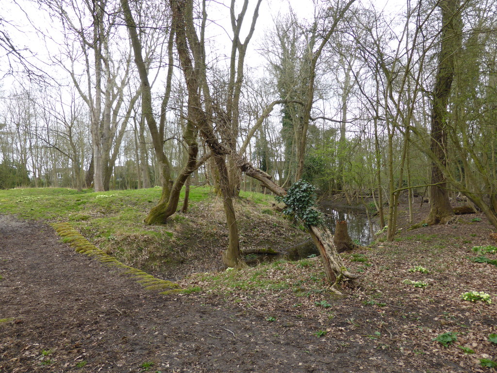
The elliptical earthworks approximately 62 by 53 m across, protected by a partially wet ditch, 8 m in width and 1.4 m deep, and a bank, 1.2 m high. It is uncertain how the earthworks were originally entered and the current causeway is modern in origin. Geophysics surveys have shown the location of two probable buildings on the island, 10 by 6 m and 8 by 6 m across respectively.
The name “Castle Close” originates from an estate survey in 1617, and it is uncertain when the site was actually built or why. Archaeological investigations in 2013 examined arguments that the site may have been a ringwork castle, or that it was a later medieval moated manor house. Pottery and other artefacts on the site were dated to the 12th century and, combined with the elliptical rather than rectangular moat, a later construction date was subsequently ruled out.
The 2013 team suggested instead that the defences were a form of ringwork castle and constructed in the early 12th century and abandoned by 1200. They argue that it was probably built by either Robert fitz Rozelin or the Triket family who acquired the lands early in the 12th century, although it is unclear if the site formed a residence for either family or had a simpler military purpose.
In the 21st century, the site is protected under UK law as a Scheduled Monument.
Bibliography
- Lewis, Carenza and Alex Pryor. (2013) Archaeological investigations on the earthwork in Castle Close, Sharnbrook, Bedfordshire, 2013. University of Cambridge; Access Cambridge Archaeology.
- Carol Simons (2008). Archaeological Geophysical Survey on a moated site at Castle Close Sharnbrook Bedfordshire May 2008. Northampton County Council.
Attribution
This article includes an image from the Geograph website, author Paul Farmer, released under CC BY-SA 2.0.